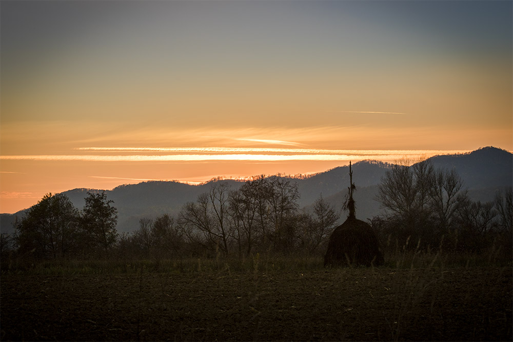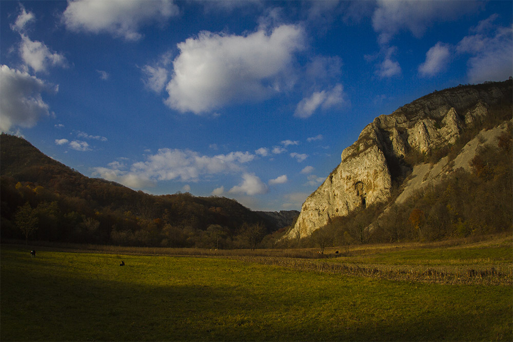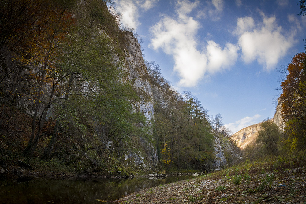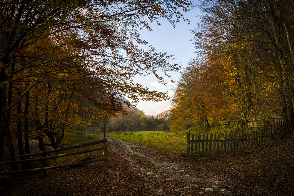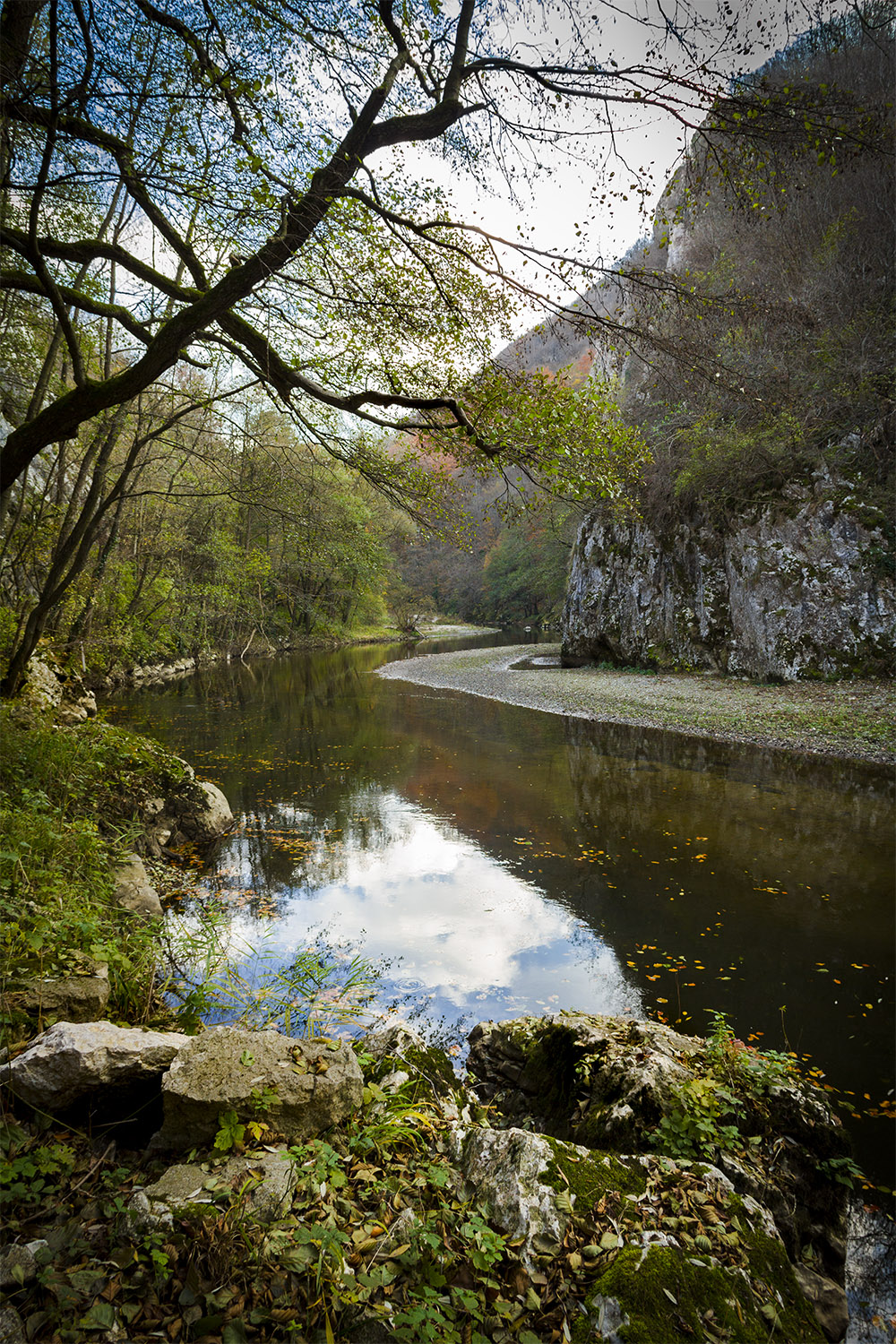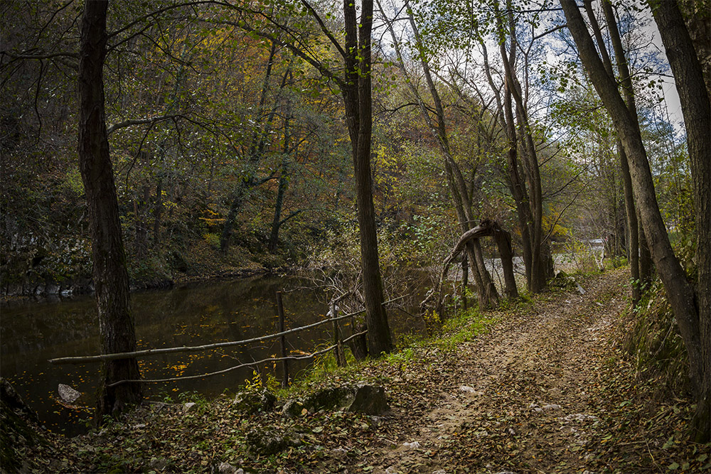
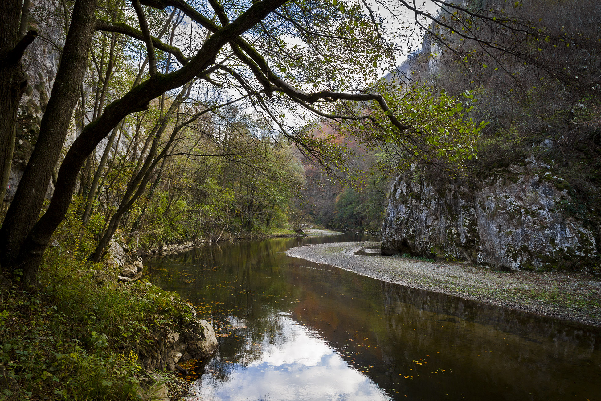
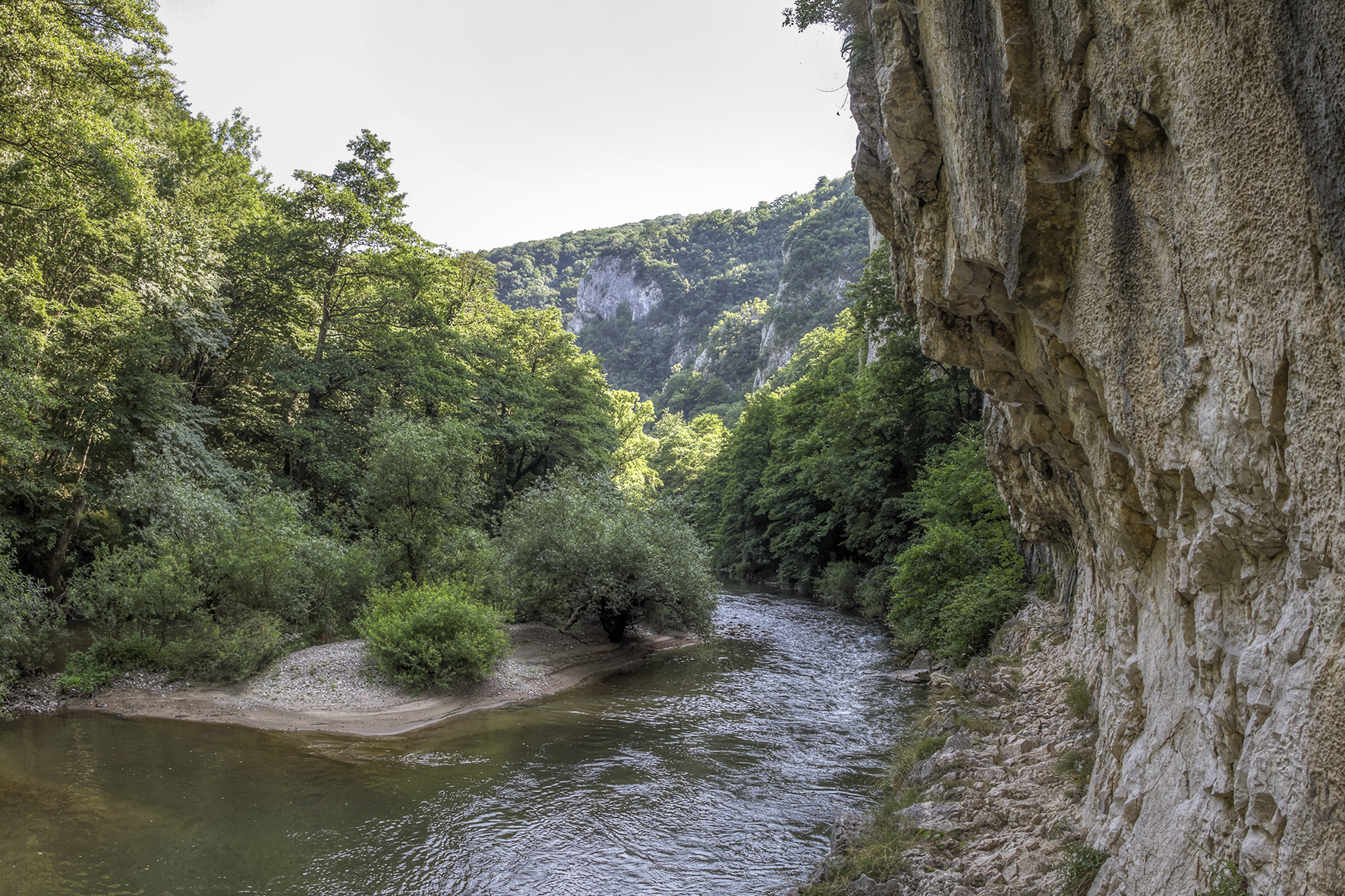
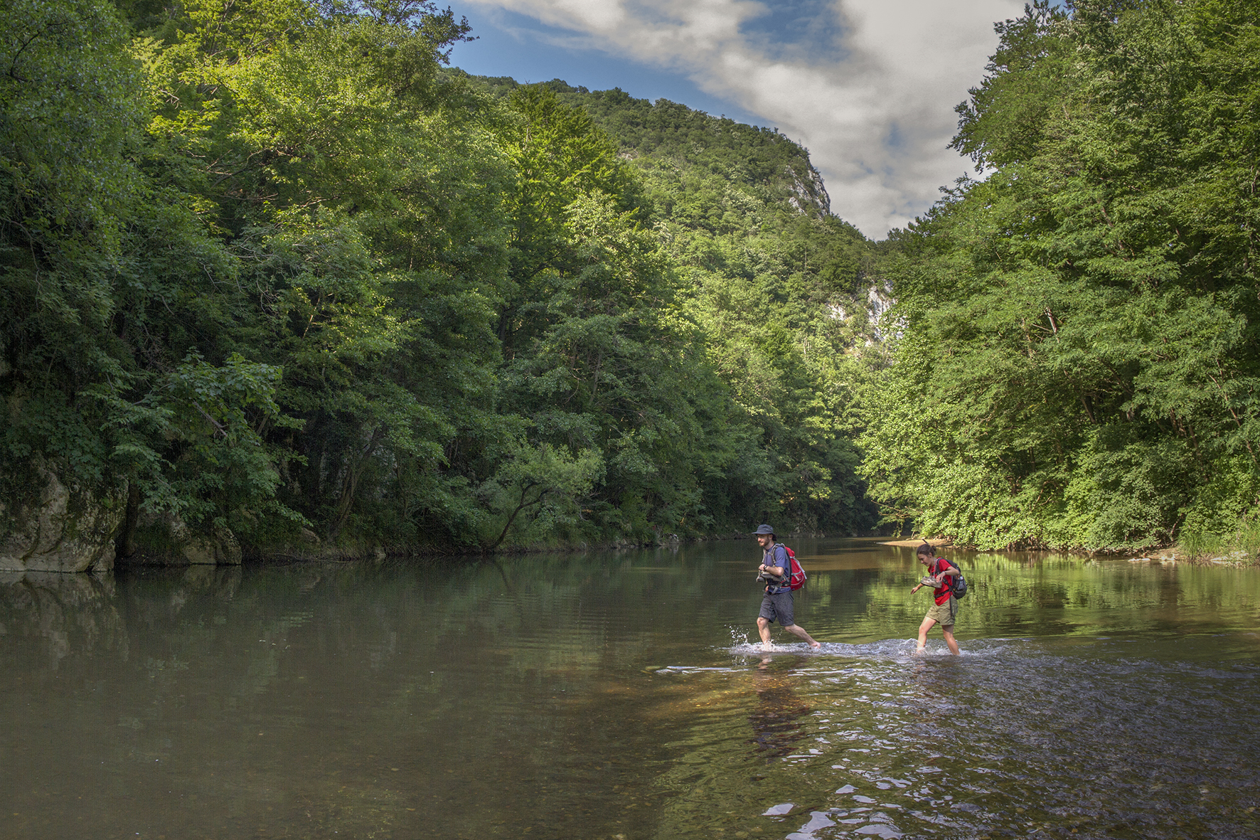
Cheile Nerei Ecotourism Destination spans mostly in the Aninei Mountains (Munții Aninei), north of the Nera River (Râul Nera) and to a lesser extent in the Locvei Mountains (Munții Locvei), to the south. These are relief units of the Banat Highlands (Caraș-Severin County). The mountainous landscape is dominated by karst plateaus and forest covered peaks of relatively low altitudes. Nera Valley falls below 150 m when leaving the mountains, while Leordișu Peak (Vârful Leordișu), to the north, rises to 1160 m as the highest in the area. The economic and social flow between the communities located in the west (Oravița Depression) and those in the east (Țara Almăjului) is very weak, leaving the development of the area in the hands of tourism.
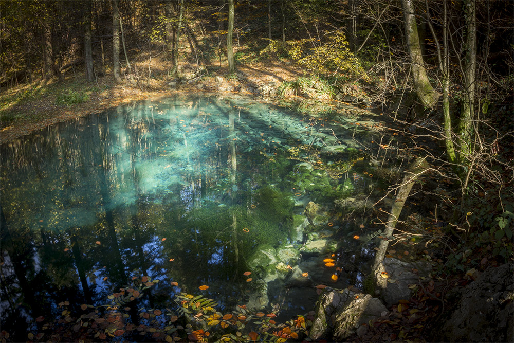
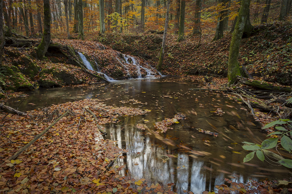
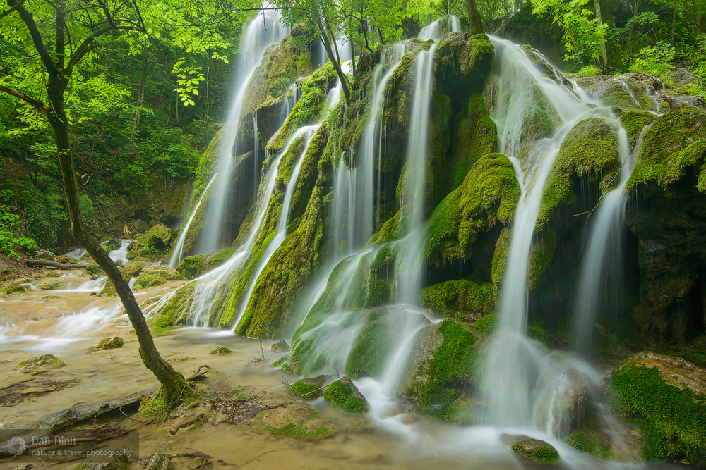
The destination is particularly attractive both due to the spectacular karst relief and to the variety of species living here. The sub-Mediterranean influences make winters mild and rainy, temperatures moderate throughout the year and drought a rare phenomenon. This fosters the development of some rare or unique species in Romania, typical of Mediterranean areas, which are no longer found beyond the northern boundary of Cheile Nerei – Beușnița National Park.
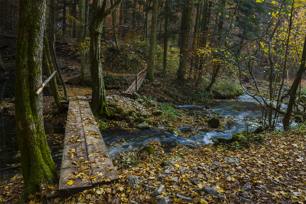
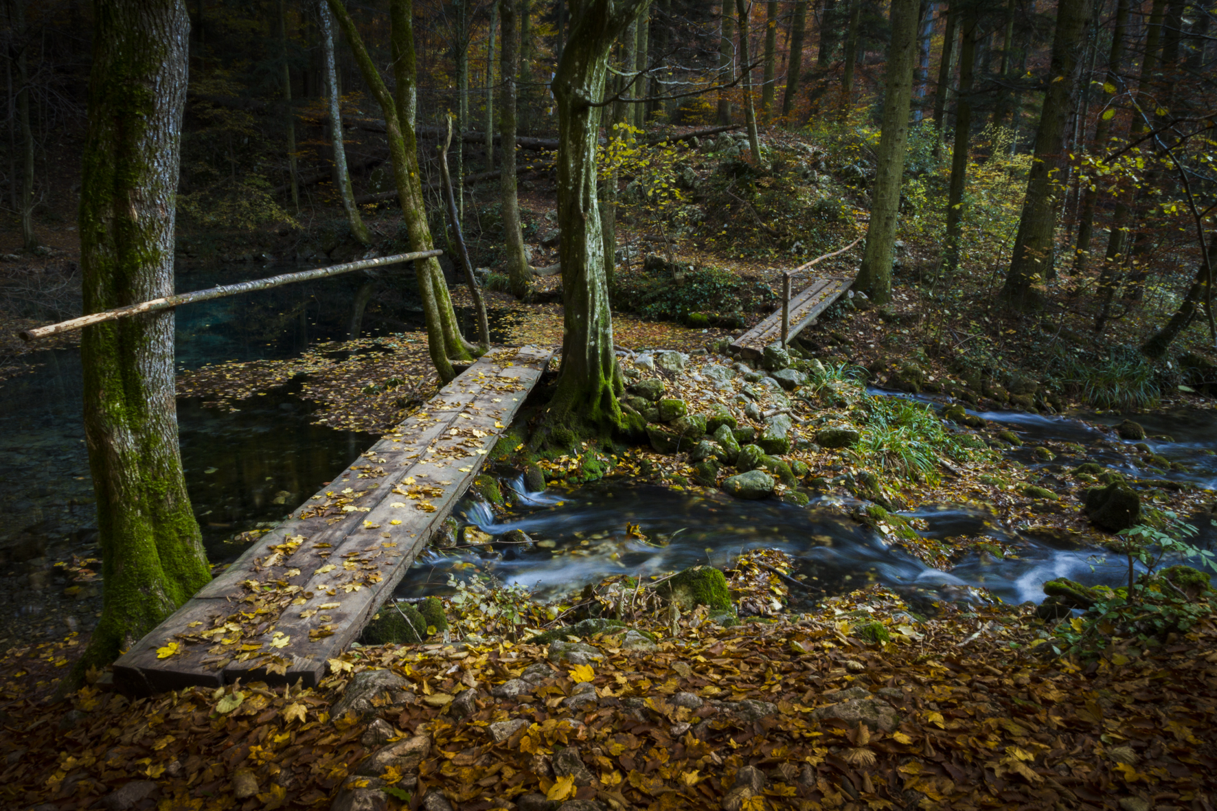
Cheile Nerei – Beușnița National Park was established to protect the natural karst environment and the cultural and historical heritage of the region. The park surface (36758 ha) is larger than that of the ecotourism destination, which in turn focuses on the significant tourist attraction sites located in the south of the protected area. The southern boundary of the park (in the Locvei Mountains) is also the northern boundary of the Iron Gates Nature Park (Parcul Natural Porțile de Fier).